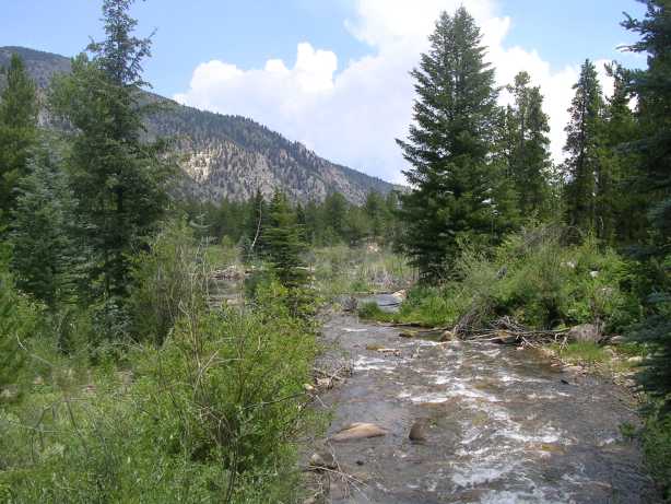
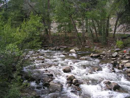
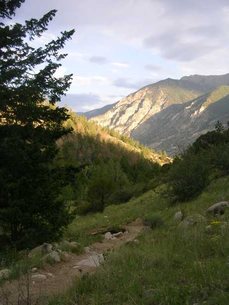
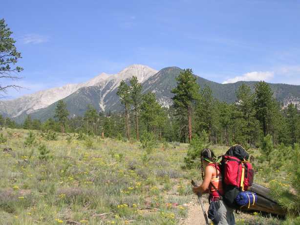
 Day 1: Middle Cotten
wood creek.
Day 1: Middle Cotten
wood creek.
Colorado Trail -Segment 13b and 14
July 22-25, 2006
Segment 14 - Chalk Creek to US 50 - (20 Miles)
Distance: 35.6 miles
Elevation Gain: Approx 4800 feet
The Ham Radio Tale
View Log - Used the KX1 and 25' wire on the trip along with a 10 pack of AA batteries. Operated for a couple hours all3 nites and the 10 pack lasted. Was getting weak toward the end. Never was in a real good spot forradio work as we camped in valleys every nite but still had great luck on Sat and Mon nites. Was blanked on Sun.
The Hiking Tale
We left the house at 7AM Saturday morning in separate cars. After about a 3 hour drive we set the first car at the Hwy 50 trailhead near Poncha Springs. It was pretty much a wide shoulder on the hwy providing limited parking. We then drove north to the Avalanche trailhead just west of Buena Vista. This was a very nice trailhead with loads of easy access, off hwy parking. Soon we were on the trail and enjoying views of Middle Cottonwood Creek and beaver ponds. Then up to the top of Sheep Mtn for views of Buena Vista. That day we put in a total of 8.8 miles and camped at Dry Creek where there was plenty of water.
Day 2 starts with a heaping helping of Terry's famous 'whey enhanced' oatmeal and then off for a brief ascent through the forest before the Colorado Trail turns into a confusing patchwork of following various county roads for 6 or 7 miles. This is definitely not the most pleasant part of the trail. The lone salvation is going directly through the Mt Princeton Spa area where there is a country store where a thru hiker could resupply or simple hikers such as ourselves can take a break for refreshments! The final mile or so to the end of segment 13 is a pleasant country road going through many, very nice residences and ending at Chalk Creek Trailhead. We hiked another .9 mile straight up to arrive at that nite's campsite. Not a beautiful spot but there was a very small trickle of water nearby. We had only hiked 7.6 miles that day but it had included some big elevation gains and if we would go on there would be no water for several miles.
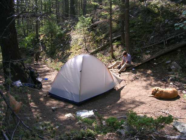
Day 3 started with more of Terry's special oatmeal and spectacular views of the mountains as the morning sun gave us some great lighting! The hike immediately took us on a pretty grueling 700' ascent to a ridge but it was made worth it by the views of the valley we just left plus magnificent chalk cliffs below Mt Princeton and as we left, nice views of Mt Princeton. The theme of the rest of the day turned out to be wildflowers as we crossed an area that had been burned out several years ago giving wildflowers a chance to take hold. Water is a little scarce on the first half of this segment but one nice creek is Browns Creek where Ellie Mae took a brief water break. Finally, after a hike of 9.1 miles we camped that nite at Sands Creek, a beautiful little gulch with a small water flow that felt like a rainforest full ferns and 50' tall aspen trees. Knowing that we were close enough to the end of the trail that we would finish the next day, we made the last order of the day to finish off the Yukon Jack that we had been toting along the whole trip.
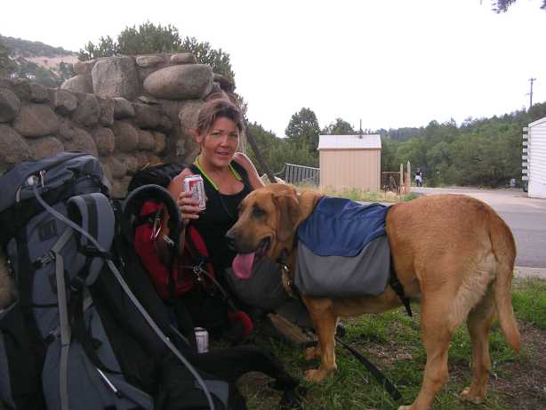
Day 4, as usual, started off with a huge climb resulting in some beautiful views. After the uphill came a short descent to where we crossed Squaw Creek. This part of the trail had a lot of water availability and, in general, seemed fairly lush with lots of aspen trees and lilies in several areas. One of the most interesting things that we saw, just before the end of our hike, was a small pond that had a huge amount of felled trees. As we hiked down into the area we realized that the damage had been done mostly be beavers as evidenced by the knawed tree stumps left on the ground. The grand finale of the hike was one last ascent to the top of a ridge and then a huge descent to the Hwy 50 trailhead. This last trek found our hikers weary and whiney! The days hike had been 10 miles, the longest of the trip.
Day 1: Middle Cotten
wood creek.
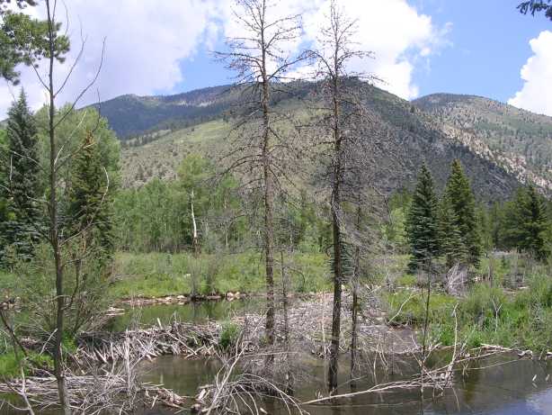 Day 1: Beaver ponds
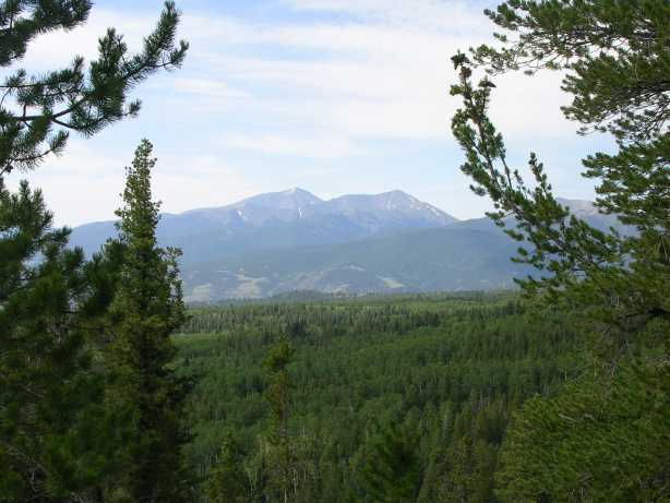
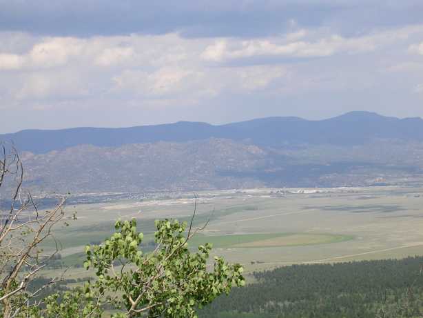 Day 1: Buena Vista from Sheep
Mtn
Day 1: Buena Vista from Sheep
Mtn
 Day 1: Campsite at Dry Creek
 Day 1: Dry Creek - Main water
source first nite
Day 1: Dry Creek - Main water
source first nite
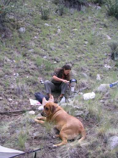
 Day 2: Begin the day with
Terry's special oatmeal
Day 2: Begin the day with
Terry's special oatmeal
 Day 2: Initial ascent before
hitting county road network
Day 2: Initial ascent before
hitting county road network
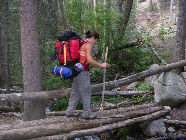
 Day 2: Break for
refreshments near the Mt Princenton Spa
Day 2: Break for
refreshments near the Mt Princenton Spa
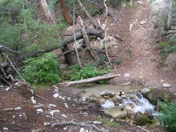
 Day 2: Chalk Creek at the trailhead
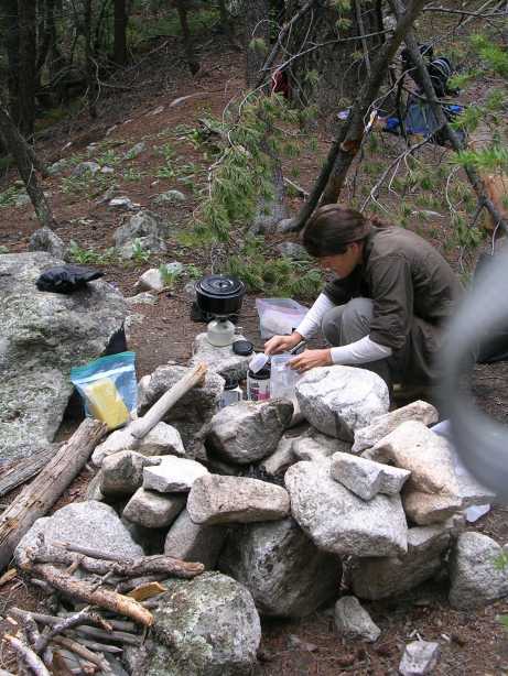
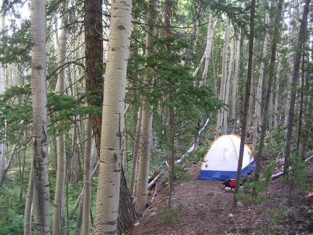
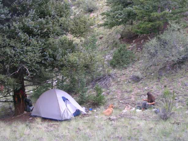 Day 2: Campsite
 Day 3: Special Breakfast
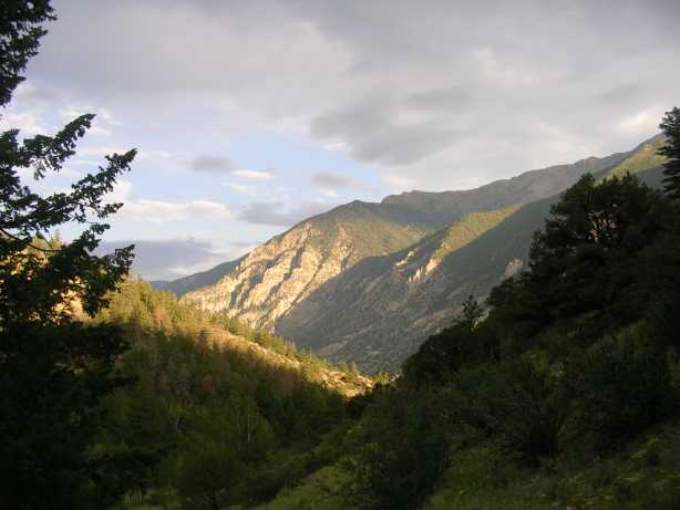 Day 3: Morning View of the Mountains
 Day 3: Morning View of the Mountains
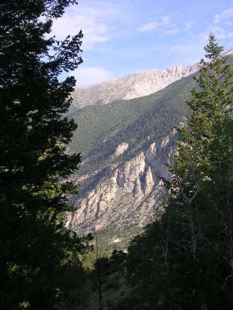 Day 3: Morning View of the Mountains
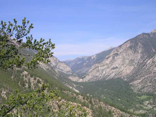 Day 3: Overlook of valley we hiked
thru
Day 3: Overlook of valley we hiked
thru
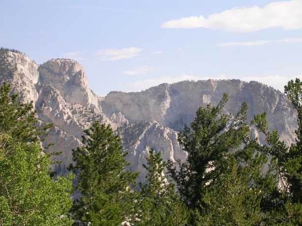 Day 3: Chalk Cliffs below
Mt Princeton
Day 3: Chalk Cliffs below
Mt Princeton
 Day 3: Look back at
Mt Princenton
Day 3: Look back at
Mt Princenton
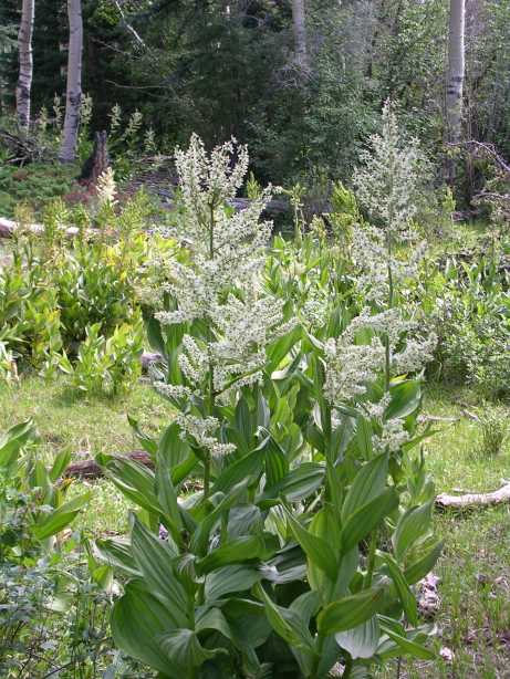
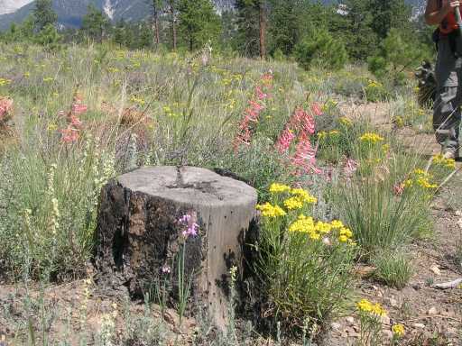 Day 3: Wildflowers
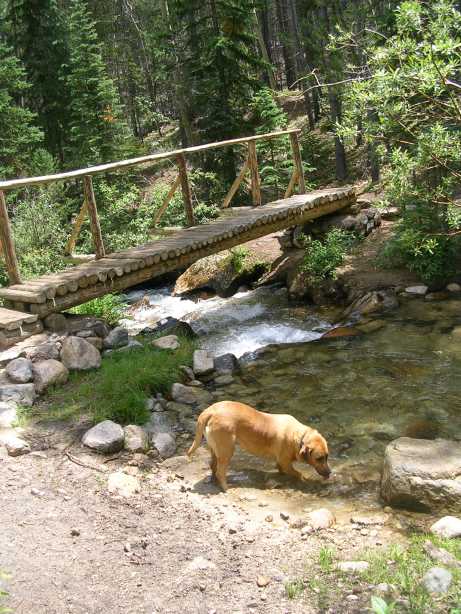 Day 3: Ellie at Browns Creek
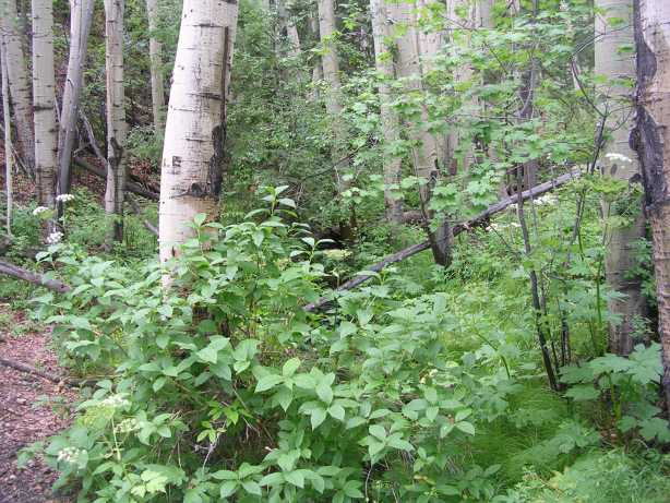 Day 3: Foilage at the
campsite
Day 3: Foilage at the
campsite
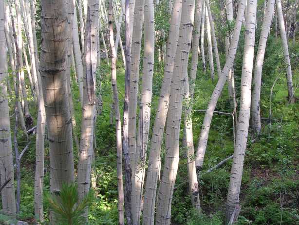 Day 3: Aspen Trees at campsite
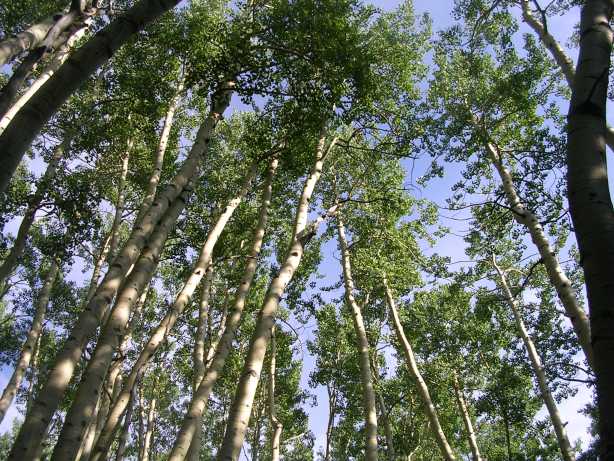 Day 3: Aspen Trees at campsite
 Day 3: Campsite
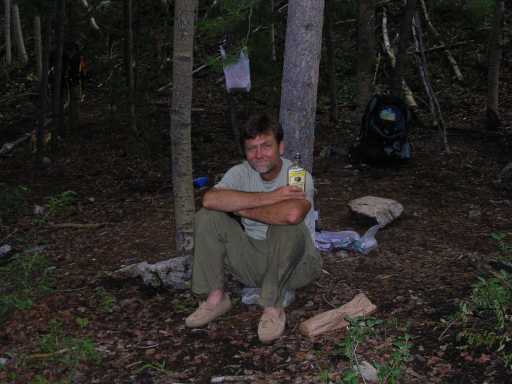 Day 3: Last order of the Day
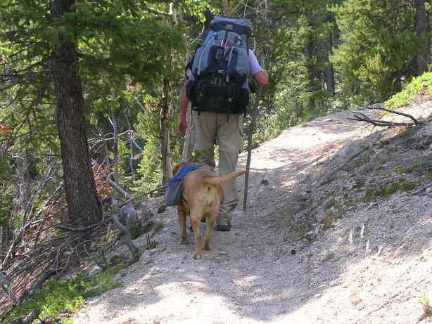
 Day 4: First view of the day
 Day 4: Crossing Squaw
Creek
Day 4: Crossing Squaw
Creek
 Day 4: Lilies
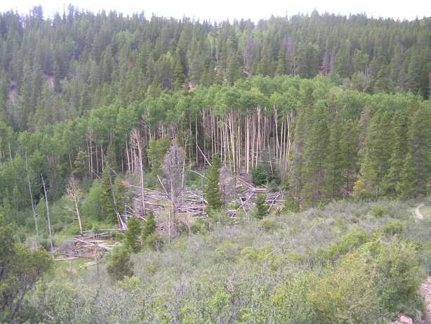 Day 4: Area where beavers
had felled huge amounts of trees
Day 4: Area where beavers
had felled huge amounts of trees
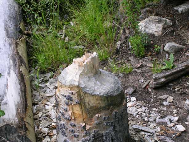 Day 4: Evidence that beavers
felled the trees, knawed stumps!
Day 4: Evidence that beavers
felled the trees, knawed stumps!