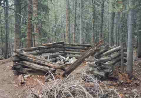
 At the start of the trip it looked like bad weather ahead.
Colorado Trail -Segment 11
Sep 5/6, 2004
Distance: 19.9 miles
Elevation Gain: 1520 feet
The Ham Radio Tale
View Log - This was the first trip I made with the elecraft KX1 and it worked great! I took along a 27' wire and 16' counterpoise for an antenna. When we arrived at camp I threw the wire in a tree, strung out the counterpoise and was on the air in less the 5 minutes I think. The wire loads fine with the internal tuner on 20/30/40. I had a little scare when I first powered up as the external battery pack (10AA rechargeables) wasn't working. This wouldn't be a tragedy because I've still got the internal batteries to rely on, but the external batteries give me a little more power and are a lot cheaper! Anyway... I pulled all the cells from the pack and reinserted them and it came alive. Conditions were great and I made several qsos that evening plus one in the morning, probably working close to 2 1/2 hours. Contacts ranged from CA to MI to TX to ID to NH and were made on 20 and 30. I'll recommend the KX1 to anyone!
The Hiking Tale
Our original plan on this segment was to start on Saturday the 4th and take 3 days to do the trail. At the last minute my daughter said she was coming home from college for the Labor Day weekend so we stayed an extra day to visit with her and ended up doing the trail in 2 days. This was our only hike of the summer and was pretty grueling without being in shape!
Terry and I met Gail at 6AM in Conifer, CO. We drove to the Clear Creek Trailhead and dropped Gail's car and then continued to the Halfmoon Creek trailhead to begin the hike. The Halfmoon Creek trailhead is actually the same as the Mt Massive trailhead and this caused us some confusion finding our spot but we ended up on the trail by about 9:30AM. The day's weather looked pretty bleak as we started, but Larry Green the weatherman had assured us that would clear off as the day went on and that Monday would be beautiful so we went ahead. Larry proved correct!
The trail begins with a long climb but once that is done the hiking becomes pleasant. The first half of the trail features a mix of pine forest and aspen forest plus plenty of water in September! The trail is fairly easy to follow but I had some trouble matching the trail to the description in the CT guide book in order to know exactly where we were. When we finally found the beaver ponds on Corske Creek I recognized the land mark and knew that we had traveled about 4 miles. At 6 miles in we crested a ridge and started seeing Twin Lakes Reservoir. The approximately 4 mile hike around Twin Lakes Reservoir is a bit boring but it is on mostly flat ground and we made good time. With the new preoccupation with terrorism in the US,. our goverment has decided to keep all hikers off of dams. This lengthened the hike by a mile or so as we had to detour down the highway to a bridge to cross the river to avoid crossing the dam. As we finished the detour and attained the other side of the dam we say a crew of bikers go around the warning signs on the dam and ride across and wondered if we were the good guys or the dumb guys! Anyway... on the south shore of Twin Lakes we found a nice camping area and after putting in about 13 miles we stopped for the nite. The next morning, after various brushings, and chattings, and feedings, we were on the trail at about 9:30. Shortly after hitting the trail turned away from Twin Lakes for the day. The remainder of the trail was a little more challenging then the first half (or felt that way cuz we were sore). Fortunately we only had 8 1/2 miles to reach the car on this day. The trail again was a mixture of pine and aspen forest. At around mile 18 we crest a ridge over a large valley and get a view of Clear Creek Reservoir. From there it is a mile or two of steep descent to the car.
This hike was about all I'd want to take on for difficulty after not doing any hiking all summer. The hike was 19.9 miles plus an extra mile for the detour. The elevation gain was 1500 feet and all three of us were more then ready for the car when we arrived. We felt the hike for several days for several days but were pretty pleased with ourselves for not letting the summer go by without getting at least one segment of the Colorado Trail under our belts!
At the start of the trip it looked like bad weather ahead.
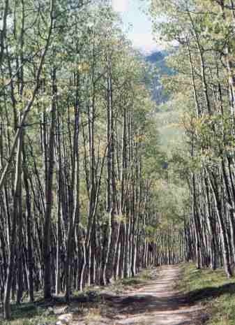
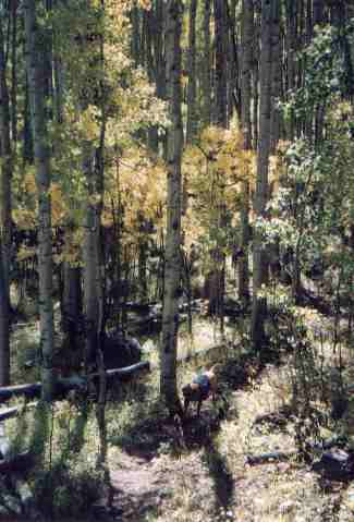
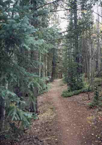 1st half of the trail varied from pine trees to.....
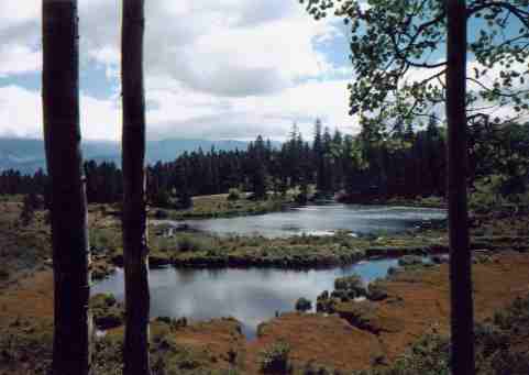 About 4 miles in we saw the
beaver ponds on Corske Creek.
About 4 miles in we saw the
beaver ponds on Corske Creek.
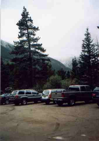
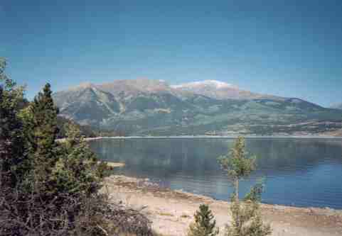
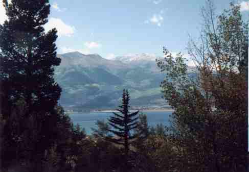 At mile 6 we started seeing Twin Lakes Dam
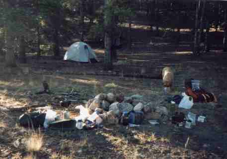
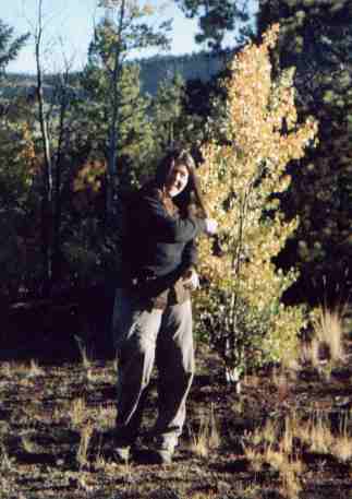
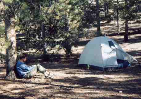 5 minutes after we got to camp I was
in my operating position
5 minutes after we got to camp I was
in my operating position
 Terry getting gussied up in the morning
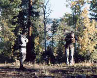 Trying to get warm first thing in the
morning
Trying to get warm first thing in the
morning
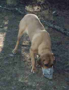 Ellie's portable food bowl (er... zip lock
bag?)
Ellie's portable food bowl (er... zip lock
bag?)
 Last view of Twin Lakes as we left on
Monday Morning
Last view of Twin Lakes as we left on
Monday Morning
 2nd half of trail was again a mix of pine
and aspen forests
2nd half of trail was again a mix of pine
and aspen forests
![]() First view of Clear Creek Reservoir as we neared the car
First view of Clear Creek Reservoir as we neared the car